Restaurants · Our pick in Brighton
Mowgli
In Dukes Lane
The Indian street-food restaurant in Dukes Lane, one of the Lanes’ smartest little streets.
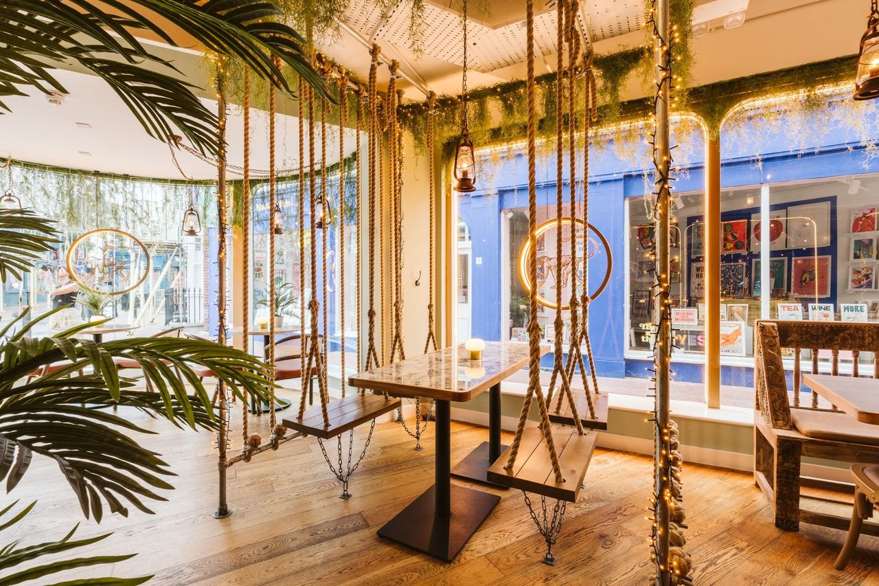
Photo Credit
Image courtesy of © Mowgli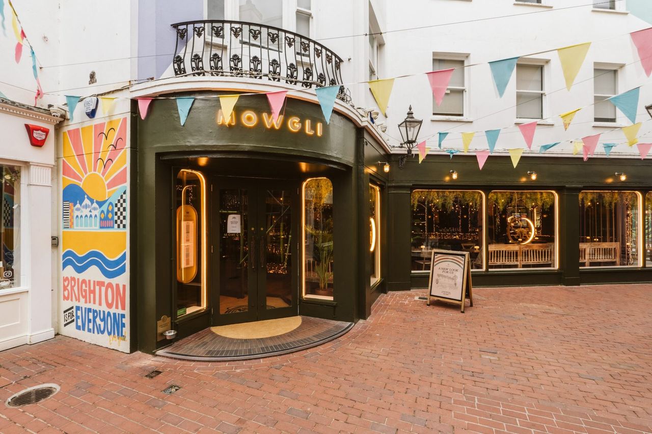
Photo Credit
Image courtesy of © Mowgli1 / 2
Our take
- Indian street food
- Address
- 12–14 Dukes Lane, Brighton BN1 1BG
Dukes Lane, Brighton - Nearest station
- Brighton
0.5 mi · 9 min walk
More distances - Website
- mowglistreetfood.com
About Mowgli
Mowgli Brighton is at 12–14 Dukes Lane, and serves Indian street food and small plates.
Opening hours, prices and seasonal openings change, so please check with Mowgli before you go.
Last checked: October 2026 How we choose
What’s nearby
Distances from Mowgli are approximate, measured in a straight line (as the crow flies). Times are approximate too: walking at about 80 metres a minute, cycling at about 15 km/h and driving at typical city-traffic speeds. Traffic and routes vary.
Nearest railway stations
- BrightonRail0.5 mi9 min walk
- London Road (Brighton)Rail1.0 mi21 min walk
Key sights
- The Lanes0.1 miWalk 2 minCycle 1 minCar or taxi 5 min
- Brighton Dome0.2 miWalk 4 minCycle 1 minCar or taxi 5 min
- Royal Pavilion0.2 miWalk 4 minCycle 1 minCar or taxi 5 min
- The North Laine0.3 miWalk 6 minCycle 2 minCar or taxi 5 min
- Brighton i3600.4 miWalk 8 minCycle 2 minCar or taxi 6 min
- Palace Pier0.4 miWalk 8 minCycle 2 minCar or taxi 6 min
- Hove Lawns1.0 miWalk 20 minCycle 6 minCar or taxi 8 min
- Preston Park1.7 miWalk 35 minCycle 11 minCar or taxi 12 min
Railway stations
- Brighton station0.5 miWalk 9 minCycle 3 minCar or taxi 6 min
- London Road (Brighton) station1.0 miWalk 21 minCycle 7 minCar or taxi 9 min
- Hove station1.5 miWalk 30 minCycle 10 minCar or taxi 11 min
- Preston Park station1.7 miWalk 35 minCycle 11 minCar or taxi 12 min
Location
The map comes from Google Maps, which sets its own cookies once it loads.