The back story
The lost Lower Town of Brighthelmstone: the back story
The fishermen’s town on the beach below the cliff, lost to the storms of 1703 and 1705.
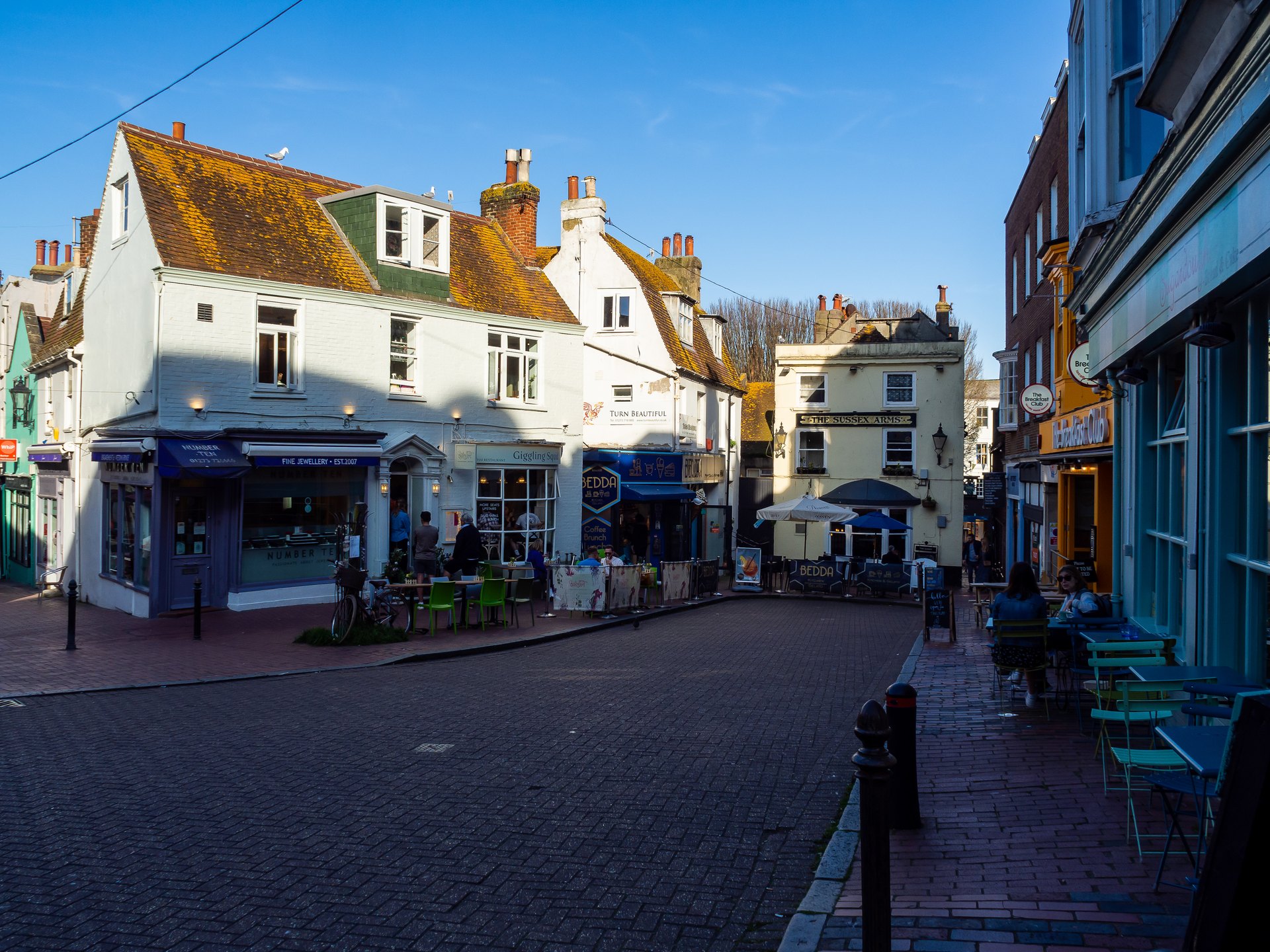
Photo Credit
Image courtesy of © bvi4092 on Flickr, CC BY 2.0Long before the Regency, Brighthelmstone was two towns. On the cliff top stood the grid of streets that became the Lanes; below it, on the foreshore, lay the Lower Town of fishermen’s cottages, capstans and the market house. Storms in 1703 and, decisively, 1705 destroyed it, and shingle covered what was left.
Brighton’s oldest neighbourhood is not in the Lanes at all, but under the shingle in front of them.
Two towns
The first fishing settlement grew up in Saxon times on the foreshore below a chalk cliff, and came to be known as the Lower Town. Above it, on the cliff top, a rectangle of streets about a quarter of a mile square took shape: West Street, Middle Street, North Street and East Street, with a south street along the cliff edge.
They were largely built up by the early 16th century, around an open field in the middle, the Hempshares, where hemp was grown for nets and ropes.
Life under the cliff
The Lower Town lived by the sea. Brighthelmstone’s fishing fleet was among the most important on the south coast, and the vicar took a share from every boat that came home. Under the cliff stood shops, cottages and the places where boats were hauled up by capstan: in 1665, 113 of a former 135 were still standing, and the old market house stood there too.
The raid of 1514
In June 1514 the French admiral Prégent de Bidoux landed by night and set fire to the town. Beacons brought help, and he was wounded before he reached his galley; Brighton & Hove Museums say the raid destroyed almost every building in the town.

Photo Credit
Image courtesy of © Arild Vågen · CC BY-SA 4.0 via Wikimedia CommonsThe storms
The sea had been taking the land for centuries: in 1340, forty acres of farmland were said to have been lost in under fifty years. The storm of 1703 stripped a great many houses and overthrew two windmills, and the storm of 1705 demolished what remained of the Lower Town under the cliff. The old market house was washed away, and a new one was built in 1734 between Black Lion Street and East Street.
Walk down Middle Street or Black Lion Street to the beach, and you are walking from the old upper town towards the vanished one.
Hard times and the cure
The early 18th century was the poorest time in the town’s history. By 1700 about 1,400 to 1,500 people lived there, under half the number of 1580, and in 1744 most householders were too poor to pay rates. Rescue came from the sea itself: Dr Richard Russell, who came to Brighton around 1747, published his treatise on the use of sea water in 1750, and the sea-bathing visitors who followed made Brighthelmstone fashionable.
Our advice: walk the twittens of the Lanes, the old upper town, then go down to the beach between the piers and look back at the cliff line that once stood above the Lower Town. Brighton Museum and The Keep hold the town’s early maps and records.
Why it's on our list
- Two towns
- Life under the cliff
- The raid of 1514
- The storms
- Hard times and the cure
Hotels nearby
The closest hotels in our guide to The lost Lower Town of Brighthelmstone: the back story, as the crow flies.
- Leonardo Royal Hotel Brighton Waterfront0.1 mi2 min walk
- The Old Ship Hotel0.1 mi2 min walk
- Hotel du Vin Brighton0.1 mi3 min walk
- Queens Hotel0.1 mi3 min walk
- Harbour Hotel Brighton0.2 mi4 min walk
What’s nearby
Distances from The lost Lower Town of Brighthelmstone: the back story are approximate, measured in a straight line (as the crow flies). Times are approximate too: walking at about 80 metres a minute, cycling at about 15 km/h and driving at typical city-traffic speeds. Traffic and routes vary.
Nearest railway stations
- BrightonRail0.5 mi10 min walk
- London Road (Brighton)Rail1.1 mi21 min walk
Key sights
- Royal Pavilion0.1 miWalk 2 minCycle 1 minCar or taxi 4 min
- Brighton Dome0.2 miWalk 3 minCycle 1 minCar or taxi 5 min
- Palace Pier0.3 miWalk 6 minCycle 2 minCar or taxi 5 min
- The North Laine0.3 miWalk 7 minCycle 2 minCar or taxi 5 min
- Brighton i3600.5 miWalk 10 minCycle 3 minCar or taxi 6 min
- Hove Lawns1.1 miWalk 22 minCycle 7 minCar or taxi 9 min
- Preston Park1.8 miWalk 37 minCycle 12 minCar or taxi 12 min
Railway stations
- Brighton station0.5 miWalk 10 minCycle 3 minCar or taxi 6 min
- London Road (Brighton) station1.1 miWalk 21 minCycle 7 minCar or taxi 9 min
- Hove station1.6 miWalk 33 minCycle 10 minCar or taxi 11 min
- Preston Park station1.8 miWalk 37 minCycle 12 minCar or taxi 12 min
Location
The map comes from Google Maps, which sets its own cookies once it loads.
More in depth
 The back storyKemptown and PrideRegency terraces, St James’s Street and the heart of LGBTQ+ Brighton, with Pride every August.
 The back storyThe Brighton i360 and Marks BarfieldA glass pod on a slender tower beside the West Pier, by the architects of the London Eye.
 The back storyVolk’s Electric Railway and Magnus VolkThe world’s oldest operating electric railway, opened on the beach in 1883 by Magnus Volk.